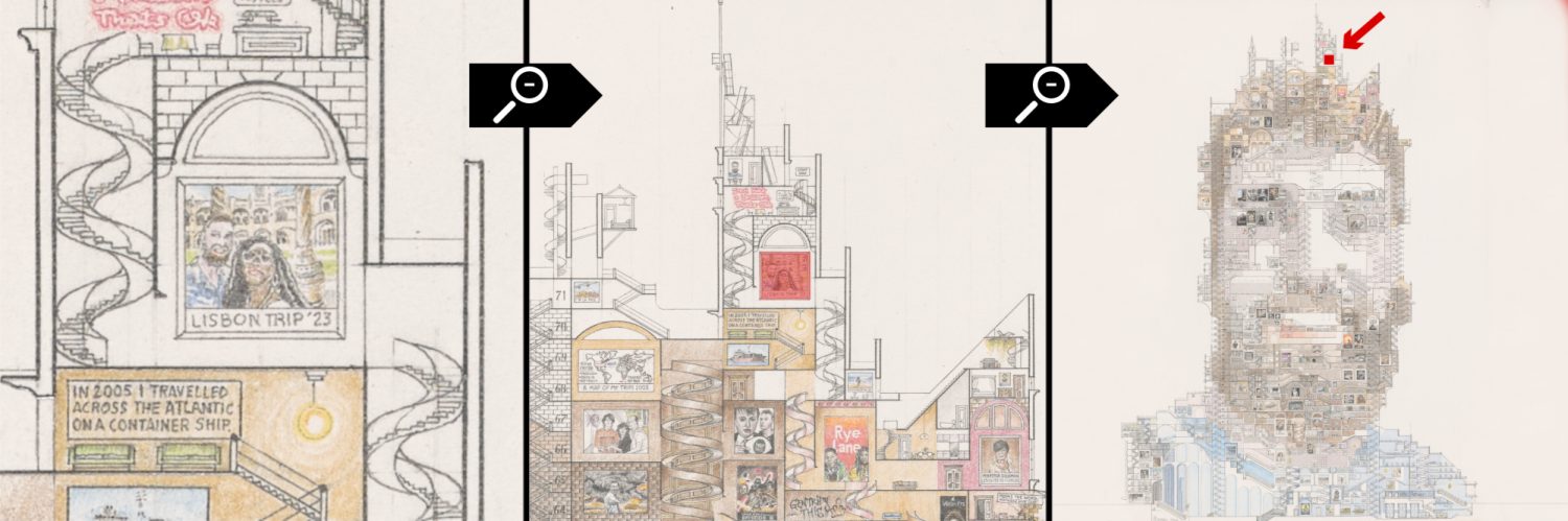
This map was the first that I produced that engages with the viewer in the form of questions posed at key junctions inside its maze. This is an exploration of how the maps can benefit a wider audience. Although the map is not meant as a comprehensive history of the region, it offers a very general overview and contains catalysts for people to make their own research journeys.
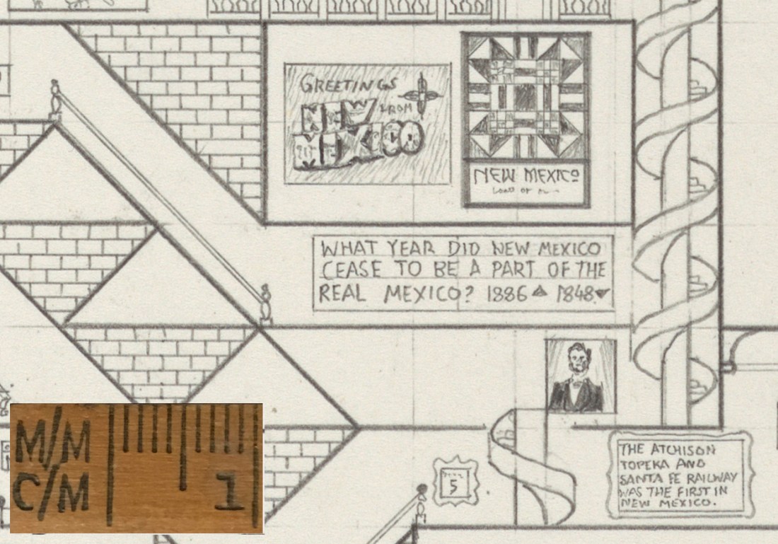
The first question in the maze, above a portrait of President Lincoln.
Parts of the map feature dead ends, and in these I decided to feature peripheral elements of the area’s history such as a reference to Breaking Bad (the well known TV series) or in later maps, these dead ends feature images of famous landmarks if the dead end happened to be in the its correct place on the map.

Space Shuttle landing and the world’s first atom bomb test.
This piece is a good bridge between the later maps which feature the educational element more heavily (Georgia and later) and the earlier maps which focus on my own personal experiences (Kyrgyzstan and before). In the New Mexico map, I make a reference to my first experience of American pancakes during my cycling trip (as seen to the top of the image above).
As seen from the gallery image, this map features a common repeating pattern unique to the Navajo peoples who have lived in this region for centuries. Most of the map is devoted to this pattern, which is consistent of brick walls and spiral staircases. The piece therefore is a mapping of my own experiences, an education journey and an illustration of a pattern all in one.
