This piece is one of my favourite maps simply because of its shape. If this existed as a building, it would be 40 storeys tall and very vertiginous. Also, Illinois is the birthplace for the skyscraper so it seems fitting to have this as the tallest of all of the A4 maps. It is one of the few places I travelled through on my bicycle journey which can be nicely represented on a portrait orientated piece of paper. It is also one of the maps which explores the Native American culture in relative depth, due to the rich history in Illinois.

A question in a junction of the maze (bottom of image).
I made the piece reflect a section through a typical skyscraper. The staircases and vertical means of ascension are housed inside the core, similar to a real building. The big void space near the centre of the map is a room where a miniature drawing of the Springfield Capitol hangs in splendour. The level below sports a picture of Bart Simpson representing a dead end, a wrong answer to a question in the maze.
Bits of my own experiences are mixed in with this map. Most notably, I arrived in Chicago on November 8th 2016, which is when the results of the maligned presidential election were to be announced. I was invited to an election party by a friendly man called Zack who I met on the Couch-Surfing app, hosted by his mates in a trendy downtown flat. The Trump presidency was announced and a sense of foreboding extinguished the fun atmosphere there. A vandalised portrait of Trump sits on the upper levels of the map, near a height comparison chart showing Chicago’s tallest buildings as of 2017 when the map was completed.
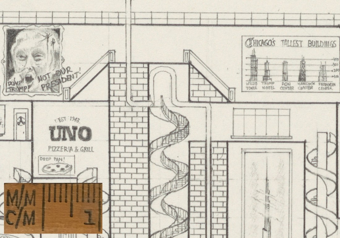
Not Our President! The tip of Frank Lloyd Wright’s mile high tower is to the bottom right.
The maps are like sections through museums because they are educational. It seemed fitting to add an admin section to this ‘museum’. This section is top secret and features a miniature solution to the maze which hangs in a boardroom depicted in the bottom right hand corner of the image below. Below this is a self portrait of myself, the Cycle Man alongside his touring bicycle. Here I wanted to experiment with perhaps adding a character for people to find, akin to an adult version of the popular children’s book Where’s Wally.

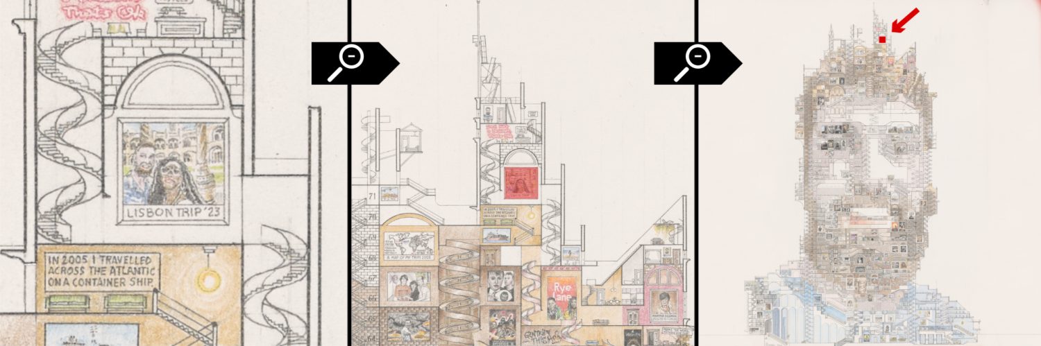
Further detail of the Illinois map.
