The California map, alongside the Illinois map is perhaps one of the densest maps in terms of information in this series. Ideally, it would have been A3 in size however I wanted to try and keep the US state maps the same size in view of perhaps being published as a book of map mazes. It was difficult to grow this map organically because there is little space to work with, especially in the inclined central section. So I decided to insert the famous Angel Steps funicular in Los Angeles to take advantage of this awkward section.
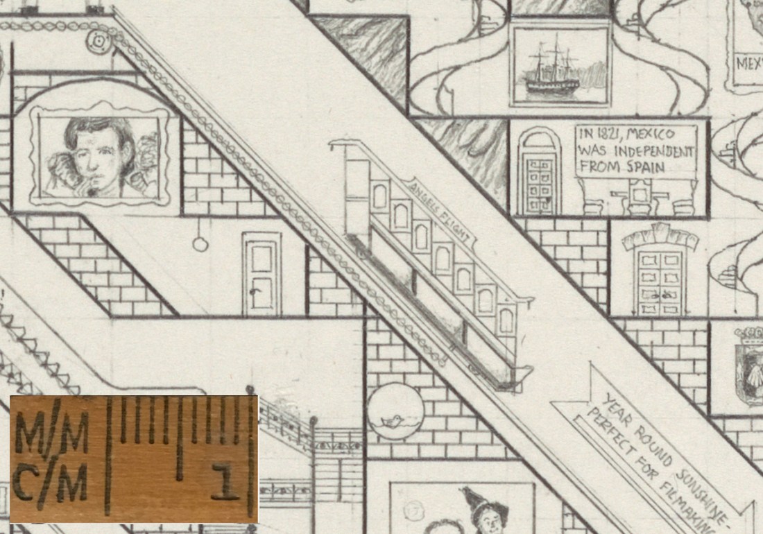
Detail of the Angels Flight funicular and the famous Migrant Girl photograph
The areas around Los Angeles and San Francisco would be very crowded due to the density of histories that have occurred in those respective cities over the years. Being selective was key here otherwise the entire map would be full of elements only relevant to these two cities. A poster of The Wizard of Oz, one of the most famous films features here alongside the erstwhile Hollywood sign features in the Los Angeles section (a part pictured below).
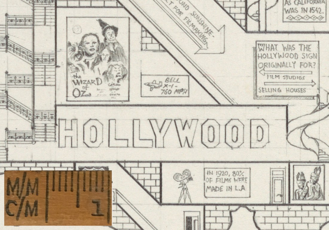
In 1920, 80% of films were made in L.A
A decent amount of the indigenous history is covered to the southern potion of the map, and the chronological path takes an unexpected southern turn so that it reaches the Los Angeles region around the time its film industry boomed. The longest escalator in the entire series draws the viewer up to the San Francisco portion, and stairs lead up to the tip of the Trans America pyramid, the tallest building there before ascending still further to the area of the state where the Redwood trees prevail. A poster illustrating the absurd notion that the tallest Redwood tree outshines the Statue of Liberty is also featured in this section.
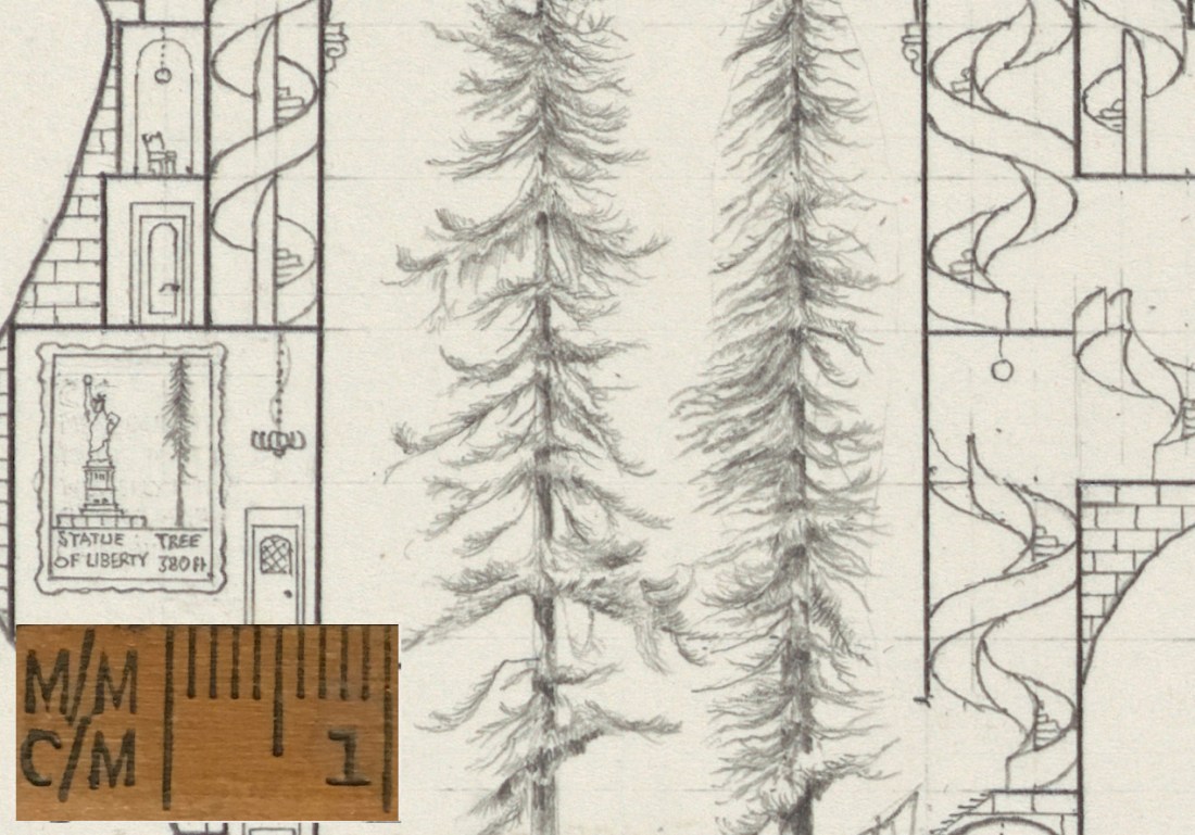
The tallest tree in the world is 115m tall, 20m higher than the Statue of Liberty
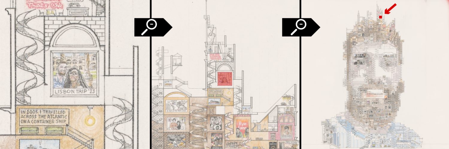
If this was a section through a real building, it would be 36 storeys high.
